
Walk an Orange County Street
A street-by-street search must separate ownership from occupancy. The Orange County Property Appraiser, or OCPA, names the title owner and gives the parcel's physical address. It does not list every person who sleeps there. A homestead exemption can support a claim that an owner uses the parcel as a primary home, but its absence does not prove a vacant home or an owner living elsewhere.
Use this order to keep names, lots, and dates tied to the same property:
- Enter the full address in OCPA Property Search. Copy the parcel ID, owner spelling, situs address, mailing address, legal description, exemption, and latest sale.
- Open the parcel in OCPA Webmap. Search the street name alone in the SITUS field to see the other parcels along that road.
- Check permits and code records in FastTrack if the parcel is in unincorporated Orange County. Route an incorporated parcel to its city instead.
- Take the owner and legal description to the Comptroller's deed index. Confirm the instrument image before treating a name as part of the chain.
- For registered-voter data beyond a personal status check, request a lawful extract from the Supervisor of Elections. Use old criss-cross volumes for historical occupants.
This sequence turns an Orange County street directory query into a set of checked facts. The parcel ID and legal description are the stable links when street wording changes. Address evidence can suggest a household, but only records that actually name a person should be used to identify one.
Search Orange County Streets in Webmap
OCPA Webmap has two address concepts. SITUS means the physical location assigned to a parcel. Address Point includes county addresses such as apartments and store units, even where one tax parcel contains many units. The distinction makes the map more useful than a plain owner search.
| Webmap field | Input | Orange County use |
|---|---|---|
| SITUS | Number, direction, street and type | A street name alone can return all parcels on that street. |
| Address Point | Full address and unit | Includes apartments and stores; omit the words “Unit” and “Apartment #.” |
| Parcel ID | Formatted or compact number | Finds the appraisal parcel regardless of mailing wording. |
| Owner | Last name, then first | Autocomplete expands likely owners. |
| Property | Known property name | Finds named commercial or institutional sites. |
| Coordinates | Map X/Y or latitude/longitude | Locates a site when no normal parcel address works. |
A “no record found” message may point to a right-of-way, lake, or parcel gap rather than a bad address. County GIS says the map is an appraisal reference, not a survey. Confirm a boundary through the recorded plat or a professional survey when the exact line matters.
The Orange County interactive mapping gateway leads to InfoMap and county data. Its layers add active violations, neighborhood organizations, watch areas, ZIPs, post offices, flood areas, wetlands, soils, and public districts. These layers provide context, not a list of residents.
See the county's mapping gateway as it appears online.
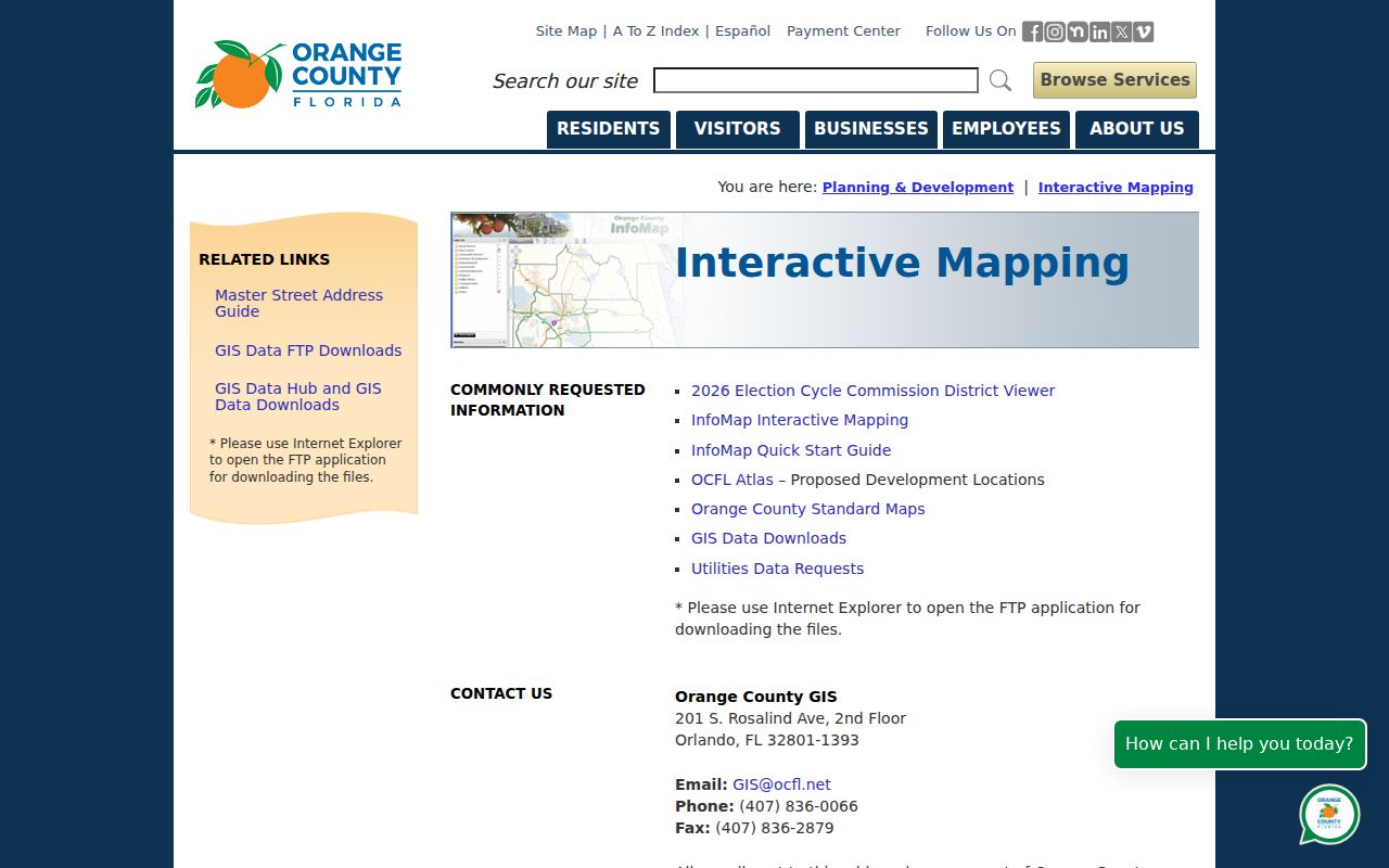
The gateway is the route to official county map services when a street directory search needs jurisdiction, code, or district layers beyond OCPA's appraisal map.
Orange County Address Terms
A few record words prevent common mix-ups. Copy them as printed, especially when comparing the property roll with a deed or plat.
- Parcel
- A mapped unit of land used for appraisal and tax records. One building or mailing address can involve more than one parcel.
- Situs address
- The physical parcel location. It differs from the owner's mailing address, which is the destination for tax notices.
- Plat
- A recorded map that divides land into lots, blocks, streets, and easements. Its book and page can connect an address to a legal description.
- Criss-cross directory
- A historical directory arranged by street and house number rather than only by surname.
OCPA records may show owner names, separate mailing and situs fields, values, exemptions, sales, land use, building details, acreage, zoning codes, and coordinates. A mailing address that differs from the situs is an absentee-owner clue only. It cannot establish where the owner lives today.
Orange County Records by Address
No single Orange County street directory contains every household. Each address-keyed source answers a narrower question, and the limits should travel with the result.
| Address source | Custodian | What it adds | Access route |
|---|---|---|---|
| Appraisal roll | OCPA | Owner, mailing and situs addresses, parcel, exemptions, sales, use and values | Free Property Search |
| Parcel and context maps | OCPA GIS and Orange County GIS | Parcel geometry, address points, zoning, ZIP, neighborhood and code layers | Webmap and InfoMap |
| Official Records | Orange County Comptroller | Deeds, mortgages, liens, notices, plats, judgments and satisfactions | Free web index; office index and copies |
| Permits and cases | County or municipality | Applications, inspections, plans, certificates, cases and licenses | FastTrack, city portal, or records request |
| Voter records | Supervisor of Elections | Registered-voter fields allowed by Florida law | Personal lookup or requested electronic file |
| Reverse directories | OCLS and local archives | Historical occupant and sometimes occupation | Catalog, database, or reference-room use |
Offline access matters. The Comptroller's in-office index is the official index, while its web index is a finding aid. Older books, microfilm, and microfiche may be needed at 109 E Church Street in Orlando. A public record not placed online can also be requested from the correct county department under Florida's Public Records Act.
Orange County Permits by Street
FastTrack property search accepts an address, file number, or parcel with at least three characters. Its detailed fields include street number, street name, type, ZIP, section, township, range, subdivision, block, lot, and application dates. Results can tie a parcel to permits, reviews, inspections, reports, and licenses.
The jurisdiction warning is crucial. Orange County FastTrack covers unincorporated Orange County, not every address with “Orlando” in its mailing line. Apopka, Maitland, Ocoee, Winter Garden, Winter Park, and the county's other municipalities keep their own city records. Winter Park, for example, separates active permits from 2020 onward from its pre-2020 archive.
Open the county's permit search shown below.
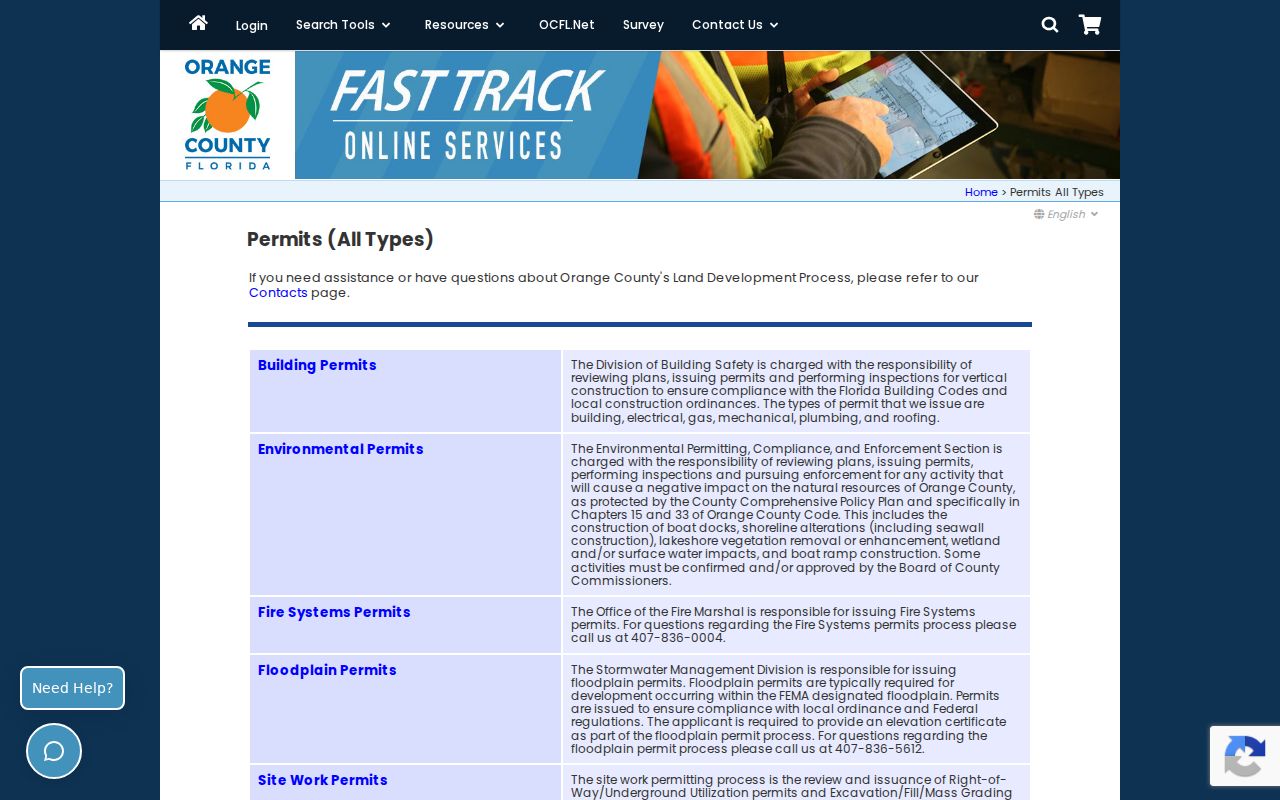
The form helps date work at an unincorporated parcel, but permits do not prove who occupied it. County research also found a hard gap: structural property records before 1977 are unavailable through the county's building-record request process.
Note: For offline files, ask for the application, permit, plans, survey, site plan, certificate of occupancy, or other named record.
Trace Orange County Street Deeds
The Orange County Comptroller records deeds and other instruments. EagleRecorder is indexed mainly by party and legal details, not as a street list. Start with the exact owner, parcel, legal description, and recent sale date copied from OCPA. Search that owner as grantee, meaning the person receiving an interest, near the sale date.
Open the image and compare the property description. The grantor is the party transferring the interest; the grantee receives it. Then search the grantor as an earlier grantee and repeat. If the name fails, try the county's required LAST NAME FIRST order, spelling variants, and supported wildcards. Parcel number, section, legal remarks, subdivision, lot, block, document date, and book/page can all help.
The web index is not the official index. Its full online start date was not published in the inspected official material. When a chain drops out, contact the Official Records Department or use the office index. A documented 1956 alphabetical microfiche index exists, but that fact does not prove continuous online coverage.
Normalize Orange County Street Names
Orange County's lakes, old plats, annexations, and municipal enclaves break a neat street grid. A road can cross Orlando and unincorporated county land. Directional letters and street types matter, and the postal city does not decide which government holds a permit file.
The county maintains the Master Street Address Guide for emergency addressing. Search a full or partial street name, or browse by initial letter. This is the best official tool for normalizing a base name, direction, and suffix before moving through a by-address workflow.
View the Master Street Address Guide interface.
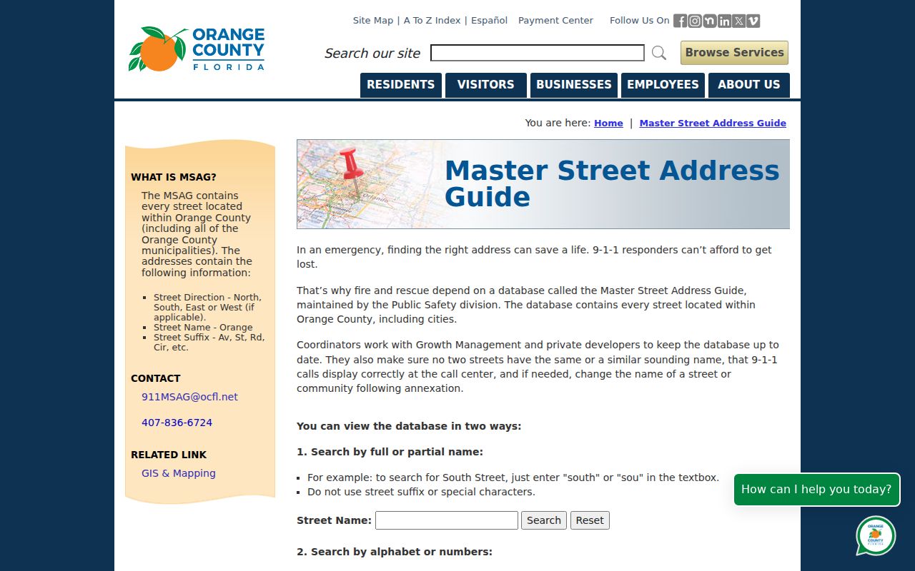
The guide confirms street naming and ranges for 911 purposes. It does not identify an owner or resident. For a historic name, compare the guide with plats, old maps, and city directories before deciding that an address disappeared.
Older Orange County Street Occupants
A criss-cross volume reverses the usual city directory. Instead of beginning with a surname, it starts with a street and number and may name the listed householder. Orange County Library System genealogy holdings and the Regional History Center are the main shelf and archive routes, but exact local volume years were not published in the inspected catalogs.
Do not invent a complete run. Ask staff for the exact year, publisher, geographic coverage, and whether that edition has a street guide. Photograph the title and abbreviation pages along with the entry. Inclusion rules changed, and an omitted name does not prove nonresidence.
The detailed historical collections belong on the Orange County city directory page. For street work, use an old volume only after the modern or historical address has been normalized.
Orange County Voters by Address
The public voter-status tool checks an individual registration. It is not an open street-browse portal. Orange County's polling-place page accepts a house number and an autocomplete street name, then returns precinct or polling information rather than voter names.
Florida law permits access to many voter fields, yet it withholds Social Security and driver-license numbers, the application source, and protected information. Signatures may be viewed under limits but not copied, and full birth dates are not part of ordinary disclosure. Address Confidentiality Program participants and other protected voters have residence details suppressed.
For a street index or electronic voter file, send the Supervisor of Elections a precise request. State the snapshot date, geography or street range, active or inactive population, fields, and file format. Ask for an estimate instead of assuming a fee. The result covers registered voters, not every Orange County resident.
Limits of Orange County Street Records
A street directory built from official records remains incomplete. Property rolls name owners, not renters, roommates, children, guests, or every adult in a home. Deeds establish recorded interests, not present occupancy. Permit applicants and mailing contacts may not live at the work site. A voter extract excludes people who are not registered and suppresses protected addresses.
Driver and motor-vehicle personal data are restricted. Utility and delivery customer data are not a public household roster. Live household headcounts are not produced by OCPA, the Comptroller, GIS, or FastTrack. Commercial compilations may merge stale or mismatched data, so an official image and a second independent record are safer than a broad claim.
Use address records lawfully. Orange County public records support family, property, and civic research. Never use a street search to stalk, harass, intimidate, or harm anyone.
Keep the wording narrow: “the deed names this owner,” “the parcel card uses this mailing address,” or “the directory listed this householder in that edition.” Those statements respect what each source can prove. They also make the Orange County street directory useful without turning an address clue into an unsupported claim about a household.