Orange County ZIP Coverage Ledger
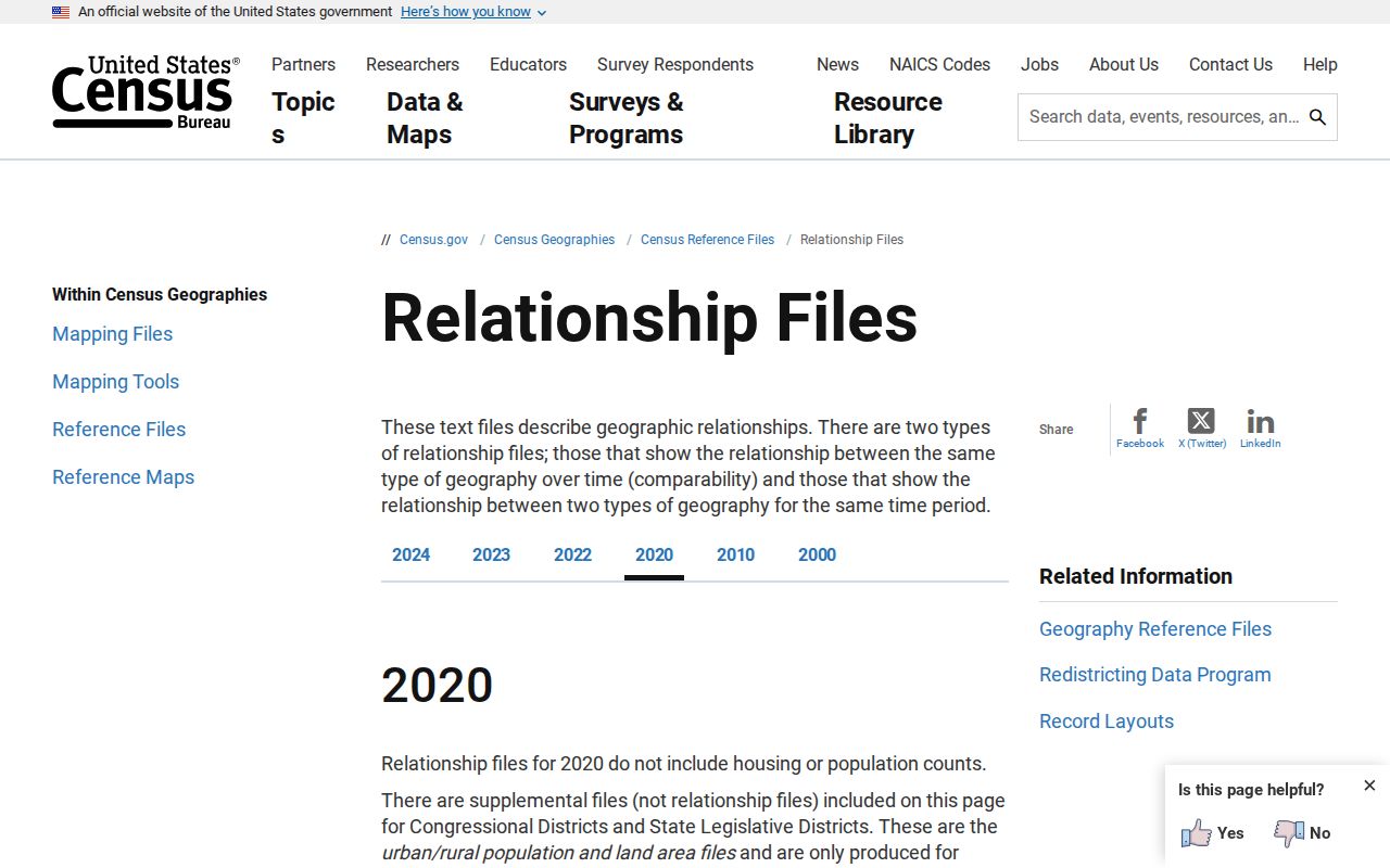
The Census Bureau's 2020 ZCTA-to-county file identifies geographic ZIP Code Tabulation Areas that intersect Orange County. ZCTAs approximate USPS delivery areas, but they are statistical shapes rather than live postal boundaries. The full county list is extensive, so the table groups contiguous Orlando codes while preserving every outlying ZCTA and its important edge condition.
| ZIP or Range | Areas Covered | Postal Identity | Boundary Note |
|---|---|---|---|
| 32703, 32712 | Apopka and Wekiwa area | Apopka | Incorporated and unincorporated land; 32703 crosses Seminole |
| 32709, 32798 | Christmas and Zellwood | Christmas; Zellwood | Large rural east area and unincorporated northwest community |
| 32751, 32789, 32792 | Maitland and Winter Park | Maitland; Winter Park | Municipal, unincorporated, and Seminole edges differ |
| 32757, 32768, 32776 | Mount Dora, tiny fragment, Sorrento fringe | Verify exact address | Small Orange intersections; mainly outside county |
| 32801, 32803-32812, 32814 | Central, north, west, and southeast Orlando area | Orlando | Includes many city and unincorporated pockets |
| 32816-32822 | UCF, Pine Hills, Dr. Phillips, east Orange, tourism corridor | Orlando or UCF | Campus, rural, city, and county geographies mix |
| 32824-32833 | Airport south, Lake Nona, Waterford Lakes, Disney, Wedgefield | Orlando or resort context | Annexed city, unincorporated county, and special districts |
| 32835-32839 | MetroWest, Dr. Phillips, Hunter's Creek, Millenia | Orlando | Irregular city limits and county pockets |
| 34734, 34760, 34761 | Gotha, Oakland, Ocoee | Named west Orange communities | 34760 is a tiny ZCTA; verify each address |
| 34747, 34786, 34787 | Disney fringe, Windermere, Winter Garden and Horizon West | Kissimmee, Windermere, Winter Garden | Cross-county fringe and very large west Orange postal areas |
The source also lists 32802 as a downtown PO-box code and notes other non-geographic Orlando assignments. Because those codes can change and do not map homes, verify each one through USPS rather than placing it on a neighborhood map.
Orange County's Orlando Mailing Myth
An address ending in Orlando, Florida is not proof that it lies within the City of Orlando. Pine Hills, Dr. Phillips, Hunter's Creek, Azalea Park, Union Park, Bithlo, Conway, and other unincorporated areas commonly use an Orlando postal label while Orange County provides key services. A nearby parcel may lie inside Orlando because annexation has left enclaves and irregular lines.
This distinction changes which office holds permits, code cases, local police records, and planning files. USPS answers delivery questions. OCPA and county GIS show the parcel and government boundary. A city or county custodian should be selected only after that second check. Postal preferred names were built to move mail, not to settle jurisdiction.
Boundary rule. Treat the mailing city as a delivery label until an official parcel map confirms the municipality or unincorporated area.
Find Orange County Residents by ZIP
A ZIP code directory narrows a large county, but each search result still represents a particular kind of record. USPS returns a delivery code. OCPA returns parcels and titled owners. GIS displays areas and layers. A voter extract reflects registration and statutory protections. None is an all-occupant list.
- Verify the complete street address with the USPS ZIP Code Lookup. Keep directional letters, street suffix, and unit.
- Open OCPA by address and confirm the situs ZIP, parcel ID, owner, mailing address, and sales reference.
- Use OCPA Webmap or Orange County InfoMap to check municipal lines, parcels, districts, and nearby geography.
- If a lawful voter-file extract is needed, request it from Orange County Elections with ZIP or street criteria and protected fields excluded.
- Once the search reaches one named road, move to the Orange County street directory for the street-level record chain.
Broad ZIP results must be dated and labeled by source. Ownership does not equal occupancy, and registration does not prove that a person remains at an address now.
Orange County ZIP Search Tools
Each official tool uses ZIP geography differently. Choose the one that answers the immediate question, then confirm its result in the next system. The search-field table prevents a postal result from being mistaken for parcel or city-limit evidence.
| Tool | ZIP Search Mode | What It Establishes | What It Cannot Establish |
|---|---|---|---|
| USPS lookup | By Address; By City and State; Cities by ZIP | Current preferred mailing ZIP and city | Municipal limits, ownership, or county service |
| Census ZCTA file | Filter county GEOID 12095 | 2020 statistical ZIP areas intersecting Orange County | Live delivery territory or non-geographic ZIPs |
| OCPA search | Address, owner, parcel; situs and mailing fields | Parcel, titled owner, and property geography | Every resident at the address |
| County GIS | Address/geocoder, map browse, boundary layers | Municipality, parcel, district, and surrounding geography | USPS delivery authority |
| Master Street Address Guide | Full or partial street name; alphabet browse | Official countywide street naming for 911 | Resident or owner names |
The Census relationship-file page shown here explains the official statistical source behind the Orange County coverage list.
Orange County ZIP 34786 Geography
ZIP 34786 demonstrates why postal and municipal geography must not be merged. The postal Windermere area is far larger than the incorporated Town of Windermere. It reaches extensive unincorporated Orange County around the Butler Chain, Isleworth, and nearby communities. A Windermere mailing label therefore says little by itself about the town government responsible for an address.
Use USPS for the delivery code, then inspect the OCPA parcel and government boundary. The same logic applies to 34787, which stretches across Winter Garden, Horizon West, Oakland fringe, and other fast-growth areas. In north and east Orange County, 32703 and 32792 cross toward Seminole County. ZIP-wide resident research must preserve those county-line qualifications.
Note: Areas listed for each Orange County ZIP offer practical orientation, not a legal finding about a particular parcel or service district.
Orange County Resort ZIP Layers
Bay Lake, Lake Buena Vista, Walt Disney World, and the resort corridor add an unusual municipal, postal, and special-district layer. ZIP 32830 has an Orlando or Lake Buena Vista mailing context, while 32836 reaches the Disney northeast fringe and Dr. Phillips area. ZIP 34747 has only a small Orange County intersection and lies mainly in Osceola County.
These codes may include institutional, commercial, resort, and residential addresses in very different proportions. A ZIP count should never be presented as a household count without a source that measures households. Verify the exact address and parcel before selecting Orange County, Orlando, Bay Lake, Lake Buena Vista, or an adjoining county as custodian.
Pair Orange County ZIPs With MSAG
Orange County's Master Street Address Guide, or MSAG, is maintained for countywide 911 addressing. It accepts a full or partial street name and alphabet browsing. That makes it valuable when a ZIP search fails because a direction, suffix, or spelling is wrong. The guide confirms a street name and range, but contains no resident or owner data.
Lakes, plats, historic settlements, and annexations interrupt Orange County's street grid. Keep each directional prefix or suffix, street type, unit, ZIP, parcel ID, and legal description. When an old address no longer matches, compare MSAG with plats and historical maps rather than assuming the person moved.
Orange County ZIP Boundary Terms
Postal, statistical, parcel, and legal-description systems use different keys. Knowing the terms helps keep an Orange County ZIP code directory within its real limits. The definitions are especially important for PO boxes, campus or corporate assignments, and carrier operations that do not form ordinary residential areas.
- ZIP code
- A USPS delivery code. Its preferred city is a mailing label, not a municipal boundary.
- ZIP+4
- The five-digit ZIP plus four digits that narrow delivery to a segment, building, or group of boxes.
- ZCTA
- A Census statistical area built to approximate geographic ZIP service; it is not the live USPS system.
- PO-box ZIP
- A code serving post-office boxes rather than a mapped household area.
- Unique ZIP
- A code assigned to a high-volume institution or organization and unsuitable as neighborhood geography.
- Carrier route
- A USPS delivery path that may cross the borders people assume from neighborhood names.
The safest sequence is simple: postal code through USPS, parcel through OCPA, and jurisdiction through GIS. A result should be described only at the level its source supports.
Orange County Maps Add Context
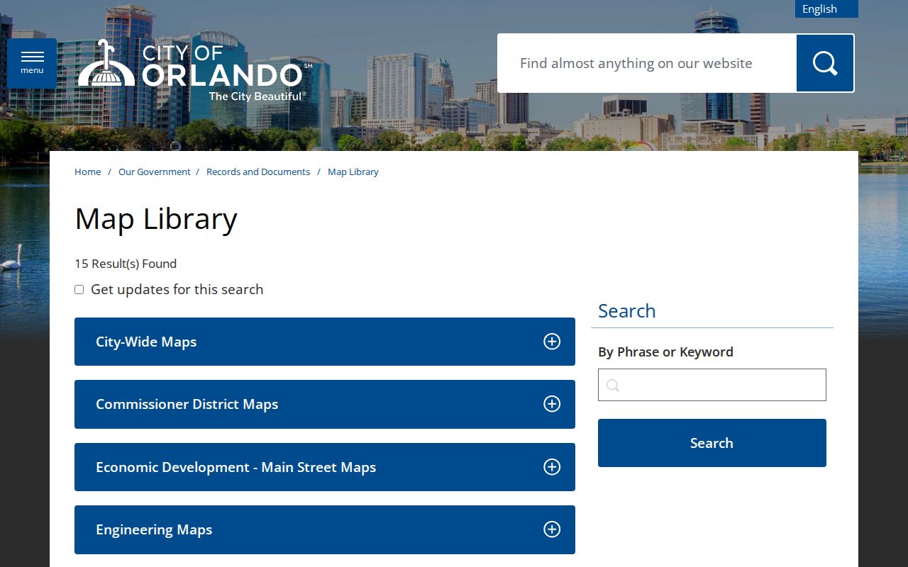
Maps can show why one ZIP contains several communities, but a map library is contextual rather than a live resident roll. Orlando's collection includes neighborhood and historic-district maps useful for understanding central-city labels and boundaries. County GIS remains the better parcel-level route when the address may be outside Orlando.
The City of Orlando Map Library shown here helps place named neighborhoods inside the city.