
Orange County Neighbor Record Sources
Public sources describe different parts of an Orange County block. The parcel map is the best geographic frame. The property roll identifies owners and mailing addresses. Election records cover registered voters but require a records request for block-level data. Neighborhood directories identify organizations and consenting contacts, not all neighbors. Match the source to the question before drawing conclusions.
| Source | What It Shows About a Block | Access |
|---|---|---|
| OCPA Webmap | Subject parcel, adjacent polygons, property links, nearby parcels | Free public viewer |
| Property Appraiser roll | Owner, situs, mailing address, homestead clue, parcel facts | Free public search |
| Orange County voter records | Nonprotected registered voters at addresses in a requested extract | Supervisor request; status tool is not a street browser |
| Neighborhood organization directory | Registered groups and contacts who consent to publication | County directory and city programs |
| InfoMap community layers | Organization, watch, safe-neighborhood, and jurisdiction context | Free GIS viewer |
An owner name proves the tax roll's current ownership claim, not who lives inside. A matching owner mailing and situs address may support an owner-occupancy clue. A homestead indicator can add weight, but none of those facts names every household member. Record the roll date and verify a key conclusion through the underlying deed or a direct, respectful contact.
Map Nearby Orange County Parcels
OCPA Webmap's SITUS search can locate one address, a street name alone, or a parcel. The map then allows a user to click surrounding parcel polygons and open property details. Its mobile Nearby Properties feature uses device location to identify parcels within 250 feet. That radius is a parcel tool, not a person finder, and GPS position may not match the exact lot of interest.
Address Points are distinct from SITUS parcels. They may represent apartment or store units, and unit searches omit the words “Unit” or “Apartment #.” That distinction matters on dense Orlando blocks where one parcel can contain many addresses. For a long named street rather than an immediate radius, use the Orange County street directory workflow.
Note: Owner mailing and situs fields can suggest an absentee owner, but neither proves where that owner or any neighbor lives.
Walk an Orange County Block
Move in a fixed order so the same parcel is not counted twice. Start with the subject lot and proceed clockwise through parcels that share a boundary or face it across the street. Keep parcel identity separate from each visible address point.
- Locate the subject address in OCPA Webmap and confirm its parcel number.
- Click each adjoining polygon and open the linked property record.
- Record owner, situs, mailing address, and homestead clue without treating them as a household list.
- Check the jurisdiction before using permits, code cases, or neighborhood programs.
- Verify any key ownership fact in the deed rather than relying on tax data as a title search.
One road can cross Orlando and unincorporated Orange County. Postal city, municipality, service area, and school zone can differ. That controls whether a permit belongs in Orange County FastTrack or a city portal, and whether a neighborhood contact comes from county or municipal staff.
Orange County Neighborhood Organizations
The county's Neighborhood Organization Directory covers voluntary neighborhood groups, mandatory homeowners associations, other associations, and community groups. Its 2026 edition lists 538 organizations and 397 published representatives who consented to appear. Thirty-two organizations opted out, and contact details can change between annual releases. It is not a directory of residents or members.
Orange County's registration channel shows how groups enter or update the directory.
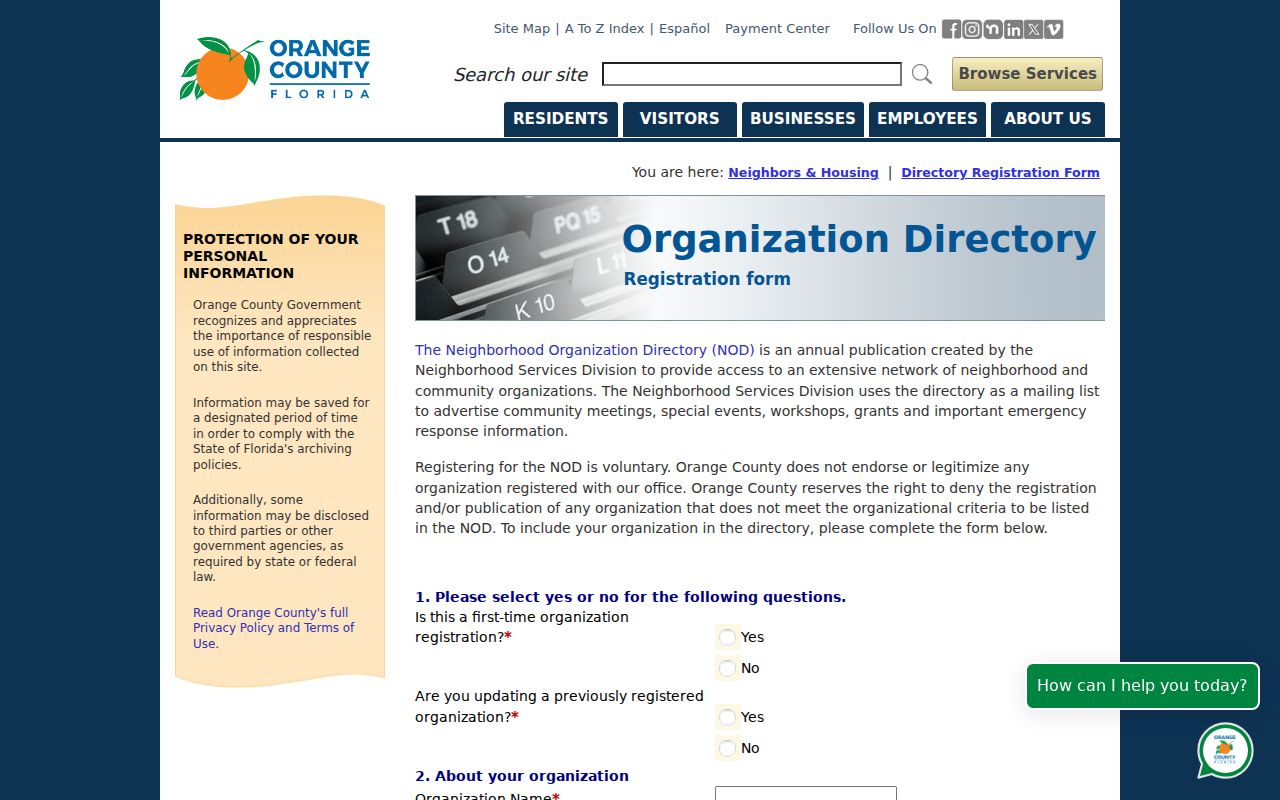
Unincorporated Orange County
Neighborhood Services supports organizations, grants, revitalization, and the county directory.
City of Orlando
Neighborhood Relations maintains city association registration and neighborhood programs.
Other Municipalities
Apopka, Winter Park, Winter Garden, Ocoee, and other cities keep their own civic contacts and rules.
Orange County Community Contacts
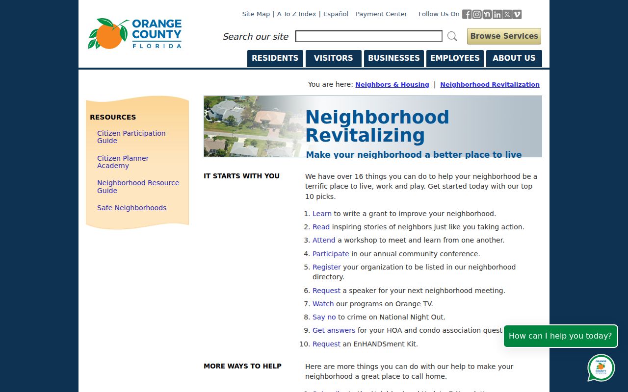
County neighborhood revitalization services are the starting point for unincorporated communities.
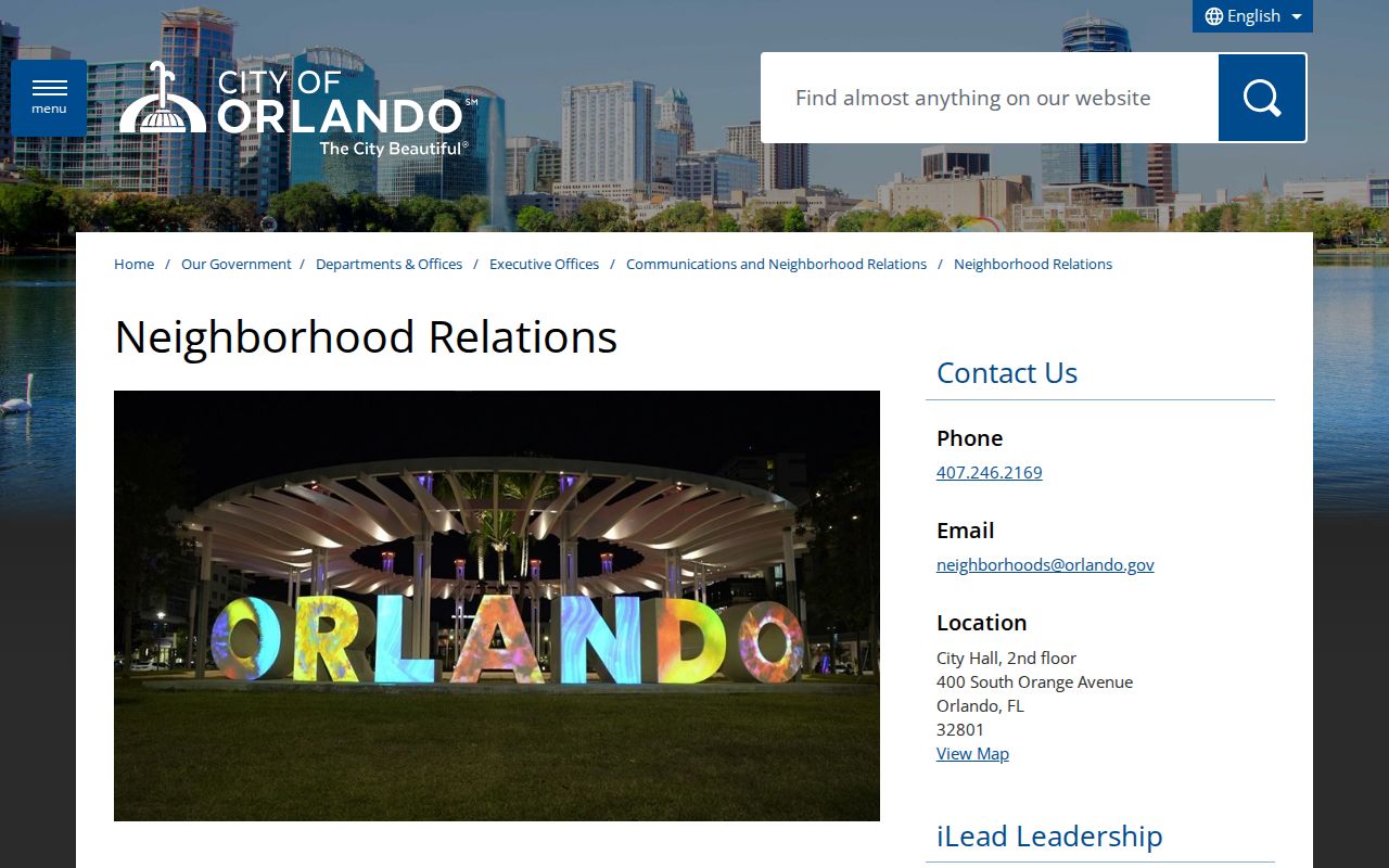
Inside Orlando, Neighborhood Relations supports registered groups.
Use a public officer address or meeting notice to make contact. Ask the organization to forward a message when a current roster is private. Neighborhood Watch programs likewise offer setup and public safety contacts, but participant names should not be assumed public.
Community memory can help when formal property records stop short. Orlando Memory includes churches, schools, funeral homes, oral histories, newsletters, and civic groups. Eatonville's preservation work is especially useful for reconnecting a family to local institutions while respecting sealed or private household records. Search by place and organization as well as surname, then ask an archive or group to forward a message instead of requesting a private list.
Orange County Voters by Block
Florida law makes several voter fields public, including name, address, date of birth, party, phone, and email, subject to exemptions. Social Security numbers, driver-license or state-ID numbers, and application source are never public. A signature may be viewed but not copied. Protected voters are withheld.
The public voter-status lookup verifies one person's registration. It does not let a visitor walk a street or browse neighbors. A block-level extract must be requested from the Orange County Supervisor of Elections, with the street or geographic scope stated clearly. Even then, it omits nonvoters, confidential participants, and anyone who moved after the roll date.
Note: A voter extract is one dated civic roll, not a complete account of every person living around an Orange County address.
Verify Orange County Neighbor Lists
Commercial neighbor tools blend public files, old directories, and inferred links. They may merge people with similar names or keep stale addresses. Official sources are narrower but identify who created the record and when it was updated.
| Source type | Best use | Main limit |
|---|---|---|
| Parcel roll and map | Owners and lot geography | Not a household roster |
| Election extract | Registered voter presence | Exempt and nonregistered people omitted |
| Organization directory | Public civic contact | No resident or member list |
| Commercial compilation | Possible lead to verify | Source date and accuracy may be unclear |
Use a compilation only as a lead. Confirm ownership with the property roll and deed, organization status with the relevant county or city program, and personal contact through a respectful public channel.
Protect Orange County Neighbors
Parcel maps do not reveal renters, roommates, children, guests, utility customers, delivery records, or private association members. Florida's Address Confidentiality Program protects eligible victims of domestic violence and stalking. Other occupational and address exemptions can remove a protected person's location from public display. Sealed cases, confidential vital facts, juvenile records, and motor-vehicle personal data remain outside an ordinary block search.
Absence is not proof. A hidden voter record does not mean the person is not registered, and an out-of-county tax mailing address does not prove the owner lives there. Contact a neighbor or association through a public channel and respect a refusal. Civic curiosity never creates a right to private household facts.
Lawful use. Neighbor research is for civic contact, reconnection, and personal awareness. Never use these records to watch, intimidate, stalk, or harm anyone.